Sediment Classification: Is India’s water in the dark?
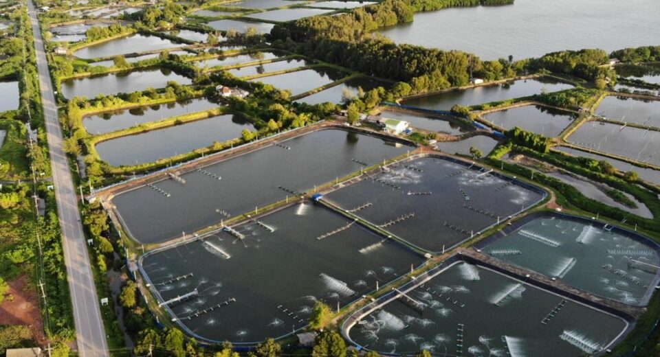
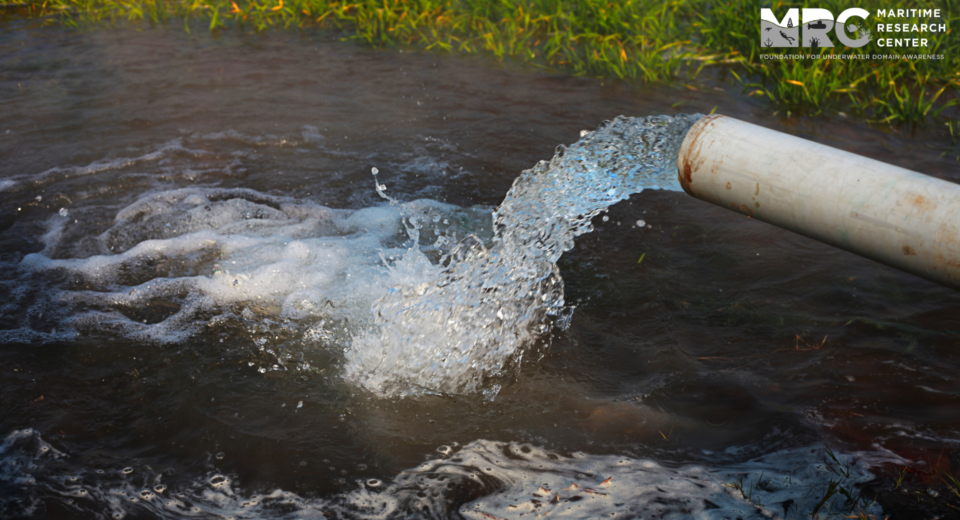
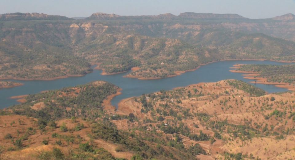
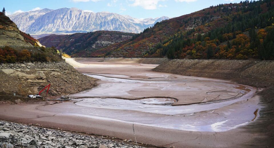
Key Highlights Oceans are one of the most crucial components for supporting life, yet we know more about the topography of Mars than we do about the earth’s sea floor. Acoustic Sediment Classification aids in efficient assessment, monitoring and conservation of seafloor dynamics which includes sediment bearing pressure, benthic ecosystem and the abiotic components. The United Nations Convention on the Law of the Sea (UNCLOS) is the primary authority for ocean governance across the globe. Proper data availability and accessibility is necessary for any scientific, technological and economic developmental goals. Indian Ocean contains most diverse lifeforms and lies at one of the major trade cross-sections of the world still lags behind in regional co-operation and security arrangements in place. Introduction Our oceans cover approximately 70% of the earth’s surface and play a critical role in supporting life, from the air we breathe and the food we eat to weather and climate patterns. Moreover, Indian rivers are the richest repositories of biodiversity and can be classified as endangered species. Indian rivers hold about 50% of all aquatic water plants and are home to thousands of migratory and resident water birds, amphibians, reptiles, riparian plants, Phyto, and zooplankton species, etc. Despite their vital functions, our understanding of such water bodies remains limited. With increasing technological expertise and an ever-growing burden on the current resources, the need for exploration deep into our water bodies is pressing. Recreational, commercial, and military maritime uses demand properties of the waterbed. For locating stable environments and ensuring the proper operation of structures, pipelines, and other installations on the surface of and buried within marine sediments, construction projects on waterbeds frequently require extensive knowledge of strength, deformability, and hydraulic, thermal, acoustic, and seismic properties. Understanding the structure of the seabed/riverbed requires a comprehensive examination of the topography and composition of surface sediments. This is based on the classification of the sediments. The Indian Ocean Area is rich in petroleum, natural gas, and vital minerals like iron, manganese, nickel, and gold. “The Indian Ocean is the world’s third biggest marine division, home to many organisms. The need for comprehensive sediment analysis echoes the rise in investments in harnessing the potential of the freshwater systems within our borders for navigation, wildlife conservation, shipping, and transportation.” Civilian and military establishments must conduct seafloor and sub-bottom studies to predict the seabed or riverbed’s biological, geotechnical, and acoustic properties. This information could be used across domains like seabed engineering. Once introduced into marine habitats, sediment particles start dispersing due to the hydrodynamics, meteorology, climate, and bottom morphology. The bottom structure keeps changing with the natural processes. The sediment texture impacts several key biotic and abiotic marine environment components, and it is recognized as a critical aspect in several fields. For example, sediment particle size significantly affects the variety and composition of benthic communities, organic carbon, and pollutant dispersion. Hence, sediment texture must be examined for the topographical study, the biological characterization of benthic environments, and the environmental assessment of marine coastal areas influenced by human activities. “The advancement of technology and the integration of machine learning, artificial intelligence, and the Internet of Things with the existing systems would provide a more comprehensive understanding of the seabed. With increased coverage and applications, it has become imperative to identify the constraints and technical knowhows and include them in a holistic development plan. This can be understood by examining the perspectives for three critical sub-bottom applications: sediment-bearing pressure, benthic ecosystem assessment, and abiotic element detection. ” The scientific community in India emphasizes the need for additional research and evaluations as a basis for debates on transboundary water management in the country. Technological efficiency Although individual Indian projects may comply with the terms of the IWT, many analysts contend that stringing several dams on the western tributaries will have negative cumulative effects downstream. This is because the IWT does not require systematic aggregate impact evaluations. Many people in Pakistan are also concerned that when more installations are added, Delhi will be able to control river flows to a greater extent, thereby suffocating Pakistan’s economy. India responds that Pakistan’s water problems are the result of Pakistani mismanagement and that its construction projects on the western rivers are “run-of-the-river” structures, meaning they are unable to impound large amounts of water. The treaty offers outdated technical guidance that is unable to address the ongoing technical issues with Indus. There are several disagreements regarding the western rivers of the Indus. They result from the treaty’s ambiguous language and basic requirements. To prevent impediments to the course of progress, we require an updated, state-of-the-art treaty. Conclusion Beyond governing relations on the Indus, the treaty’s larger significance is essentially symbolic. The pact served as a reminder that the leaders of India and Pakistan might cooperate to find reasonable solutions to issues affecting their countries’ relations. The geology of the Indus Basin’s riverine region and the unforeseen political events that led to the treaty’s creation served as its foundation. Some commentators foresee a potentially violent conflict, possibly “water wars,” between India and Pakistan as the basin’s fresh water supply declines and the demand rises. The Treaty’s fragmented or divided governance runs counter to the principles of integrated water resources management (IWRM), which is promoted by hydrologists, environmentalists, and engineers who contend that basin states must respect the interdependence of various users and recognize the watershed as an ecological whole to provide riparians with a collective good. Since the treaty is a static technical document, it cannot address contemporary, complicated problems like climate change and sustainable development. IWT’s lack of adaptation is a downside. The IWT is a permanent agreement that has no expiration date, in contrast to treaties like the 1964 Columbia River Treaty between the US and Canada, which allows either of its signatories to choose to renegotiate it after 50 years. Article XII of the IWT’s Final Provisions stipulates that “a validly ratified treaty concluded for that purpose between the two governments” must be signed for the treaty to be changed.