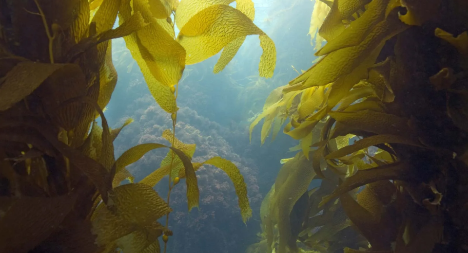
Seaweeds – An irreplaceable necessity to the mankind
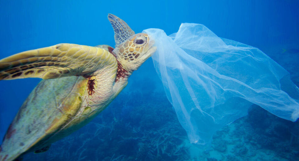
Key Highlights Even though there are many internal and external criticisms, IWT has managed to survive several wars and military standoffs between India and Pakistan. By hindering economic growth, the IWT has increased the domestic dispute over Kashmir. Kashmiris have grievances against the pact since it forbids India from using the western rivers for cultivation, hydroelectric generation, or navigation. The scientific community in India emphasizes the need for additional research and evaluations as a basis for debates on transboundary water management in the country. The treaty offers outdated technical guidance that is unable to address the ongoing technological disputes with Indus. The IWT is a permanent agreement that has no expiration date, in contrast to treaties like the 1964 Columbia River Treaty between the US and Canada, which allows either of its signatories to choose to renegotiate it after 50 years. Heading Global food consumption is leading to food shortages due to the increase in the human population. As a result of the latter, the western world is showing an increasing interest in alternative food sources, such as the saltwater macroalgae known as seaweed. Cultivation of macroalgae produced offshore is a promising food source as it does not compete with food crops for arable land or drinking water. Additionally, seaweed is a good way to mitigate climate change and is good for purifying eutrophic waters that might otherwise suffer massive biodiversity losses. This is critical to eliminating the need to feed a growing population on a planet where there will not be enough land for agricultural crops, as seaweed production does not compete for inland arable land, freshwater, or agricultural fertilizers. Seaweeds are photoautotrophic organisms and one of the main producers in brackish and brackish waters. They synthesize organic matter together with light and CO2 from inorganic nutrients such as dissolved inorganic nitrogen (DIN) and dissolved inorganic phosphorus (DIP). The organic material produced can then be eaten by another organism in the ecosystem or used in foodstuffs and other products. Algae are divided into three main groups known as green (Chlorophyta), brown (Phaeophyta), and red seaweeds (Rhodophyta). This distinction is based on differences in color, habitat, morphology, and chemical composition. Currently, the leading seaweed producers are China and Indonesia with 29 million tons, accounting for 85% of the total global seaweed production in 2019.Seaweed is not limited to this and can be used in biofiltration and Integrated Multi-Trophic Aquaculture (IMTA) to neutralize nutrient concentrations. The seaweeds produced later can be used in products such as food, fertilizer, high-value products (carrageenan, agar, etc.), or biofuels. Part of state-of-the-art seaweed-based integrated aquaculture is now focused on growing high-value seaweed species not previously used in integrated systems, increasing tank culture success for seaweed yield, and reducing unwanted fish species. effects of intensive fish farming. Much of the research on integrated aquaculture is based on the integration of bio-filtered seaweed and fish farming. There are also studies focusing on the integration of seaweed and shrimp culture. Why to farm seaweed? “What makes wild seaweed harvesting and farming attractive to coastal communities is that the technology is relatively simple, requires a low initial capital investment, the crop can be harvested in about six weeks, and can be dried on straw, turf, or grass beach sand.” Seaweed has been used around the world for centuries and was originally considered a food source only for coastal communities. Besides its wide-ranging use in many industries (as will be detailed later), seaweed greatly contributes to the nutritional status of communities due to its rich macronutrient composition such as sodium, calcium, magnesium, potassium, and chlorine, sulphur, phosphorus; micronutrients (iodine, iron, zinc, copper, selenium, molybdenum, fluoride, manganese, boron, nickel, and cobalt); and vitamins (B12, A, K). For example, in iodine intake, the daily adult requirement of 150 ug/day is easily met by small amounts of seaweed, especially brown algae such as seaweed, whose iodine content ranges from 1 500-8 000 parts per million. According to the World Health Organization, iodine deficiency is the most common and easily preventable cause of impaired cognitive development in children in the world. “Seaweeds also provide protection to a variety of organisms with increased biodiversity. They absorb carbon dioxide (CO2) and reduce global warming. They are also effective in controlling organic and inorganic loads, including heavy metals, in coastal waters, and thus in maintaining ecological balances.” Large-scale aquaculture of seaweeds is one of the climate-resilient aquaculture techniques and crucial for reducing ocean acidification, it is indeed a green technology without energy, fertilizers, and chemical inputs. “A major advantage in growing seaweed is that fish and fisheries species do not usually need feeds, cost, and availability, which are often limiting factors in aquaculture. It also requires no elaborate setups and causes little damage to the seabed and fishing resources.” Also, because farmlands are in tidal zones, women and children can safely access seaweed fields. These factors give women an important opportunity to earn some income for themselves and their families, while men work as fishermen and in other industries. Some studies have also indicated that women tend to be more patient and more willing to learn about managing their local seaweed resources in a sustainable way. This trend is seen in every region, especially in the Asia and Pacific region (China, Indonesia, Malaysia, Philippines) and Africa (Ghana, Morocco, Zanzibar (Tanzania)). Meanwhile, researchers are moving towards finding greener techniques in the cultivation and use, such as seaweed stocks. India’s Potential in seaweed Production: Although there are many sheltered bays and lagoons suitable for aquaculture, no large-scale attempts have been made to grow seaweed in India so far. With a total of 7,517 km of coastline along with its coastal states and islands, India is home to about 844 species of seaweed. Estimates of potential seaweed production from Indian waters suggest that using 0.30 million hectares of land along the coastline, 30 million tonnes could be produced at an estimated yield of 100 tonnes/ha/year. “Efforts need to be made to increase production by improving harvesting techniques, removing competing