Blue Bonds can accelerate sustainable ways for undersea exploration
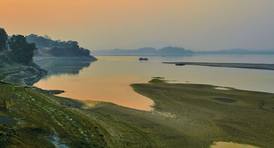
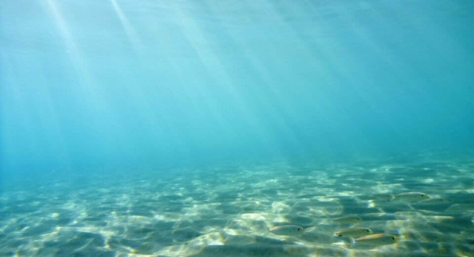
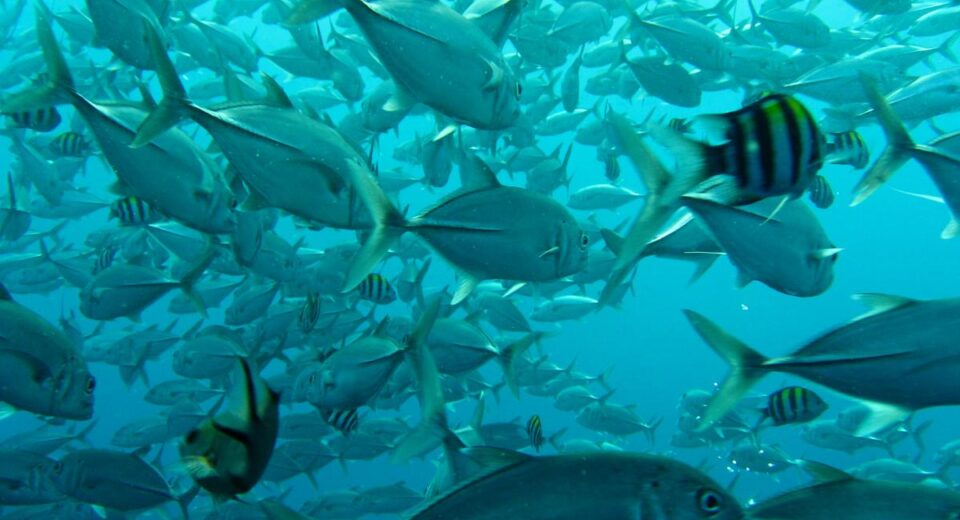
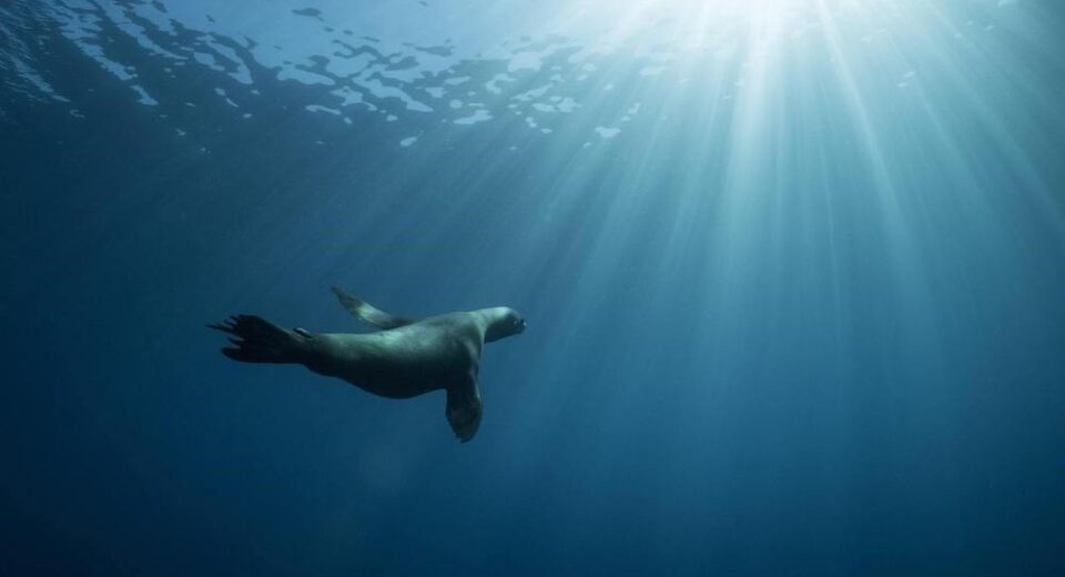
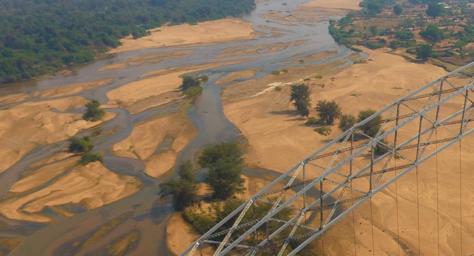
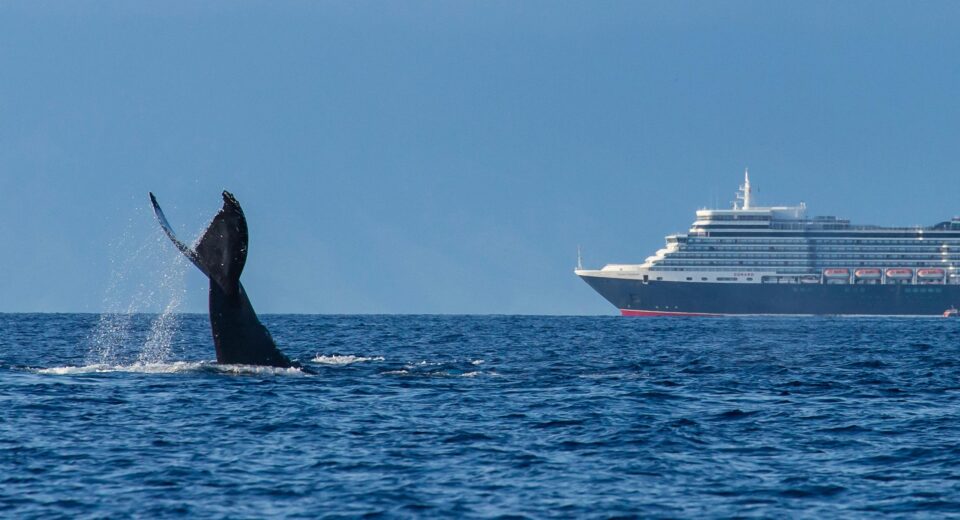
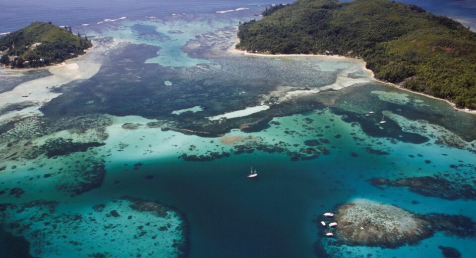
Blue Bonds can accelerate sustainable ways for undersea exploration Brief Overview Blue Economy is the seventh-largest economy in the world by Gross Domestic Product (GDP), and is valued at USD 3 trillion annually. It currently supports 3 billion people worldwide. In recent years, the Ocean Economy or ‘Blue Economy’ has been a key proponent in safeguarding the world’s water and ocean resources. The World Bank views the blue economy as a comprehensive concept, encapsulating multiple aspects of sustainability, from lowering pollution to sustainable fisheries. It has two facets, (a) it provides opportunities for growth and development as well and (b) it provides protection for threatened and vulnerable spaces. The United Nations (UN) has declared 2021 to 2030 as the decade of oceans science for sustainable development, in an effort to reverse the declining ocean health. The development of blue bonds has been instrumental in enabling countries to transition towards a blue economy. It allows countries to raise funds required to implement tools and mechanisms to shift current economic practices to those with positive economic, climate and environmental benefits. “While ocean has a vital role in supporting sustainable development through sustainable development goals (SDG) 14, sustaining life below water is amongst key goals with the lowest amount of capital invested.” Understanding blue Bond and Blue Economy Understanding A debt instrument, blue bonds can allow countries to mobilize capital towards projects directly impacting water and ocean related issues while advocating for economic growth, social inclusion and environmental protection. It helps in committing funds towards sustainability and oceans. Blue bond issuers commit to investing the proceeds from the bond towards projects. This helps in contributing towards sustainable development and oceanic health. The accomplishment of the SDGs lies at the core of sustainable finance. The innovation of sustainable financial mechanisms, like blue bonds, facilitates issuer’s participation towards all of the interlinked SDGs in support of the blue economy, incentivizing ocean stewardship. Sustainable development signifies environmentally sound and inclusive economic development undertaken without depleting natural resources that society is dependent on in the long term. Balancing sustainable development’s economic, environmental and social dimensions with regard to oceans is a core element of the blue economy. The transition to environmentally responsible practices is an important dimension of the blue economy. “An ideal blue economy is found on the ‘triple bottom line’ decision making, incorporating economic, social and environmental needs for optimum results.” People, Economy and Nature A sustainable blue economy unites stakeholders to achieve a common goal, effective protection, equitable prosperity and sustainable production. It could simultaneously deliver in three ways. Firstly, safeguard biodiversity by effectively protecting and reducing greenhouse gas emissions. Secondly, help sustainably power and feed a planet of ten billion people through sustainable production and last but not the least, equitable prosperity through the redistribution of benefits and creation of better and more equitable jobs. “Effective management of the ocean would increase production capacity, simultaneously increasing energy and food production without negatively impacting the marine ecosystems. The blue economy presents vast untapped potential which can aid India in diversifying its economy, generating greater output from efficient utilization of marine resources.” The ocean can produce over six times its current food production with a lowered environmental footprint, if managed effectively and efficiently. Ocean health can be restored through sustainable production based on regenerative practices such as ecosystem-based fisheries and fully protected areas. This would result in a triple win for people, nature and the economy, creating a world with greater prosperity. Triple-win policies are the future of development, which would synergize the strands of economic growth, environmental sustainability and social development. India is amongst many countries implementing triple-win policies. It has adopted several laws to ensure sustainable development, addressing inequity and protecting the vulnerable. These include the national food security legislation and laws to protect the right to information and education. These laws reduce food insecurity through conservation of water, fertility, soil and biodiversity. Blue growth is a strategy to sustain economic growth and create jobs required to reduce poverty in the face of climate crisis and worsening constraints on resources. However, to create a sustainable blue economy, private and public actors must set consistent, measurable and clear targets and goals, communicate progression towards goals and effectively govern marine space and resource usage. It is also important to develop guidelines and standards to support sustainable blue economy. Examples of successful sustainable economies include the Philippines where the triple objective of ocean protection, food security and prosperity were met by the aid of their four hundred fishing communities. The blue economy offers the opportunity to strengthen connectivity with neighboring nations and helps in meeting national socio-economic objectives. This would ultimately help in improving the standard of living of coastal communities and increase ecological resilience. It strengthens the Indian government’s efforts to achieve SDGs and sustainable marine resource usage by 2030. Future potential The Blue Economy was also highlighted as one of the ten core dimensions of economic growth in India’s “Vision of New India by 2030”. A subset of the national economy, India’s blue economy consists of a network of economic resources and man-made infrastructure in marine and onshore coastal zones, aiding in the production of goods and services that have clear ties with environmental sustainability and economic growth “As a result, the draft blue economy policy recommends the government to raise capital for blue growth through blue and green bond markets.” Blue Bond issuances in the past has focused on investments within water related infrastructures as well as marine restoration and conservation. By establishing a broader eligibility framework and criteria, blue bonds can finance more business opportunities and would positively impact ocean related projects by supporting sustainable development. The blue use of proceeds can be assigned to sustainability projects such as shipping, ports, fisheries and aquaculture that operate directly inside or near the oceans and seas. “Blue Bond issuances in the past has focused on investments within water related infrastructures as well as marine restoration and conservation. By establishing a broader eligibility framework