UNCLOS, EEZ and MSR: Challenges for India
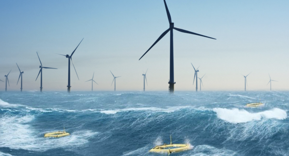
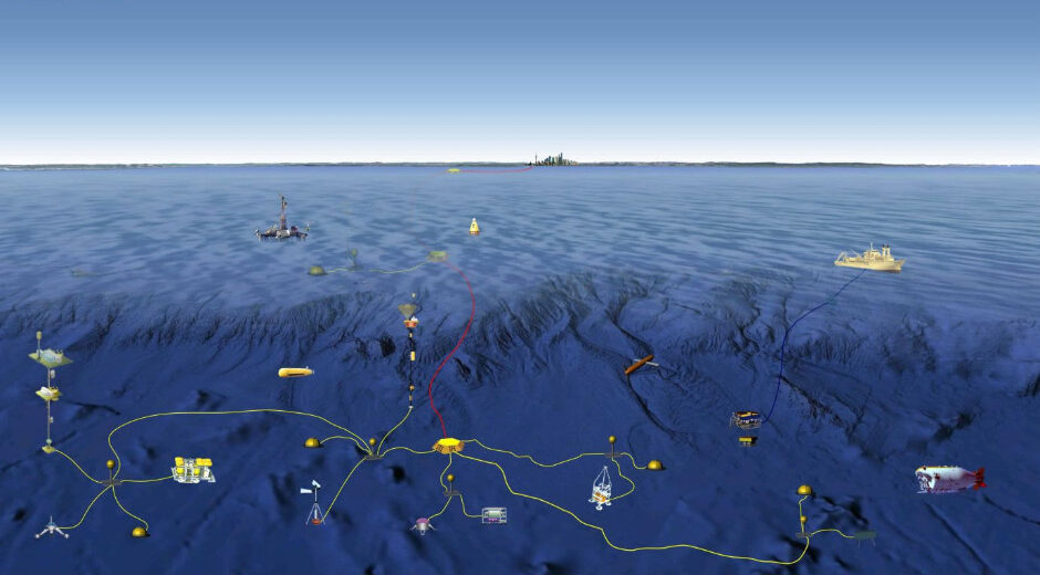
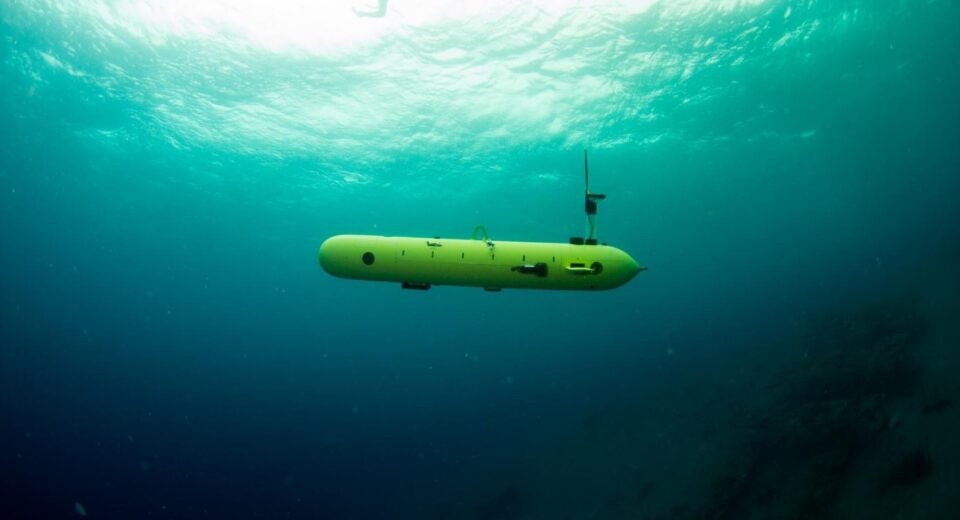
UNCLOS, EEZ and MSR: Challenges for India The discussions on Blue Economy and Maritime Security challenges in India rightly point out that the situational awareness has become an increasingly prominent component of the Blue Economy where the state wants to have comprehensive knowledge of the situation at, or related to the seas. Specific mentions of the importance of the Exclusive economic zone, continental shelf and the two exploration contracts with the International Seabed Authority in the area beyond national jurisdiction have been made time and again. The focus of this article is thus limited to contemporary challenges, specific to these areas and in the context of resources. The essential focus of Marine Domain Awareness and Underwater Domain Awareness is on matters of security. Security includes use of advance scientific knowledge as well as deployment of highly sophisticated technical devices and instruments. Legally, however such use and deployment has to be in conformity with the existing legal framework with respect to maritime jurisdictional rights. Such legal frame work is contained in the 1982 United Nations Convention on the Law of the Sea (UNCLOS) and related instruments. Exclusive economic zone: The exclusive economic zone extends up to 200 nautical miles from the baselines. In the water column as well as in the seabed and subsoil, beyond the territorial waters, the coastal State enjoys sovereign rights over all its resources. In the context of Under Water Domain Awareness, the challenge here is concerning the rights of other States to engage in Marine Scientific Research. Marine scientific research is essential to understand not only the physical characteristics of the water column as well as the seabed and subsoil, but also the nature of the deep-sea resources. While the freedom of marine scientific research is a recognized freedom of the High Seas, UNCLOS also contains general principles for the conduct of marine scientific research in the various maritime zones of coastal States. In the exclusive economic zone and continental shelf, coastal States enjoy sovereign rights over the resources. Coastal States have the right to regulate authorize and conduct marine scientific research. Consent of the coastal State is required for the conduct of marine scientific research in the exclusive economic zone or the continental shelf. Under normal circumstances, coastal State shall grant its consent for marine scientific research. UNCLOS clarifies that normal circumstances may exist in spite of the absence of diplomatic relations between the coastal State and the researching State. UNCLOS specifies where the Coastal State may withhold its consent, Continental Shelf: The continental shelf of a coastal State, or an island, is the seabed and subsoil of the submarine areas that extend beyond its territorial sea throughout the natural prolongation of its land territory to the outer edge of the continental margin. In the continental shelf, the coastal State enjoys sovereign rights over the natural resources. The rights of the coastal States in the continental shelf are exclusive. If the coastal State does not explore the continental shelf or exploit its natural resources, no one else may undertake these activities without the express consent of the coastal State. Where the continental margin of a State is up to or less than 200 nm, it coincides with the exclusive economic zone. Where the continental margin extends beyond 200 nautical miles, the Convention prescribes certain criteria for the establishment of the outer limits and requires submission of data and information to the Commission on the Limits of the Continental Shelf (CLCS/Commission) for consideration. The deliberations of the Commission and sub-commissions are held in private and remain confidential. No documentations or records of the interactions between the sub-commission and the delegations of the coastal States are kept by the secretariat. It is therefore advantageous to have the presence of a coastal State’s elected member in the Commission. The next election of the Commission is expected to be held in June 2022. Contracts with the International Seabed Authority (ISA): India has two contracts with ISA. The first one is a contract for exploration of polymetallic nodules in the Central Indian Ocean entered into in 2002. This contract carries with it certain historical background as a former Registered Pioneer Investor that has much legal significance. The contract was initially for a period of 15 years and was further extended to by 5 years in 2017 on the expectation that India will proceed to the exploitation contract stage. However, the Regulations for Exploitation is yet to be adopted the Authority. The rights over the seabed resources are purely contractual rights. There is no sovereignty or sovereign rights involved. There is no ownership over the resources. The contractual rights for exploration exist purely for the duration of the contract. The current exploration contract is valid until 24 March 2022. It is important that India, like six other contractors also applies for further extension of its exploration contract at the earliest. India’s second contract is for exploration of polymetallic sulphides in the Indian Ocean Ridge in the Central Indian Ocean. This contract was entered into in September 2016 and is valid until 2031. UNCLOS confers compulsory jurisdiction in respect of any disputes concerning contracts to the Seabed Disputes Chamber of the International Tribunal for the Law of the Sea. Importantly, such compulsory dispute settlement procedures can be invoked by natural and juridical persons viz. individual contractors or multinational consortia. Action Points: There is a need for a comprehensive legislation concerning sovereign rights in the Exclusive Economic Zone and Continental Shelf as well as for the conduct of marine scientific research compatible with UNCLOS. This becomes particularly important in the context of multitude of laws, regulations and guidelines adopted by several organizations such as UNESCO, UNEP, FAO, ISA, Convention on Biodiversity, Convention on the Protection of Underwater Cultural Heritage etc, apart from numerous resolutions adopted by the United Nations General Assembly. “There is a need for a comprehensive legislation concerning sovereign rights in the Exclusive Economic Zone and Continental Shelf as well as for the conduct of marine scientific research compatible with