Marine Spatial Planning (MSP) Implementation, based on Modelling & Simulation (M&S), driven by the Underwater Domain Awareness (UDA) framework
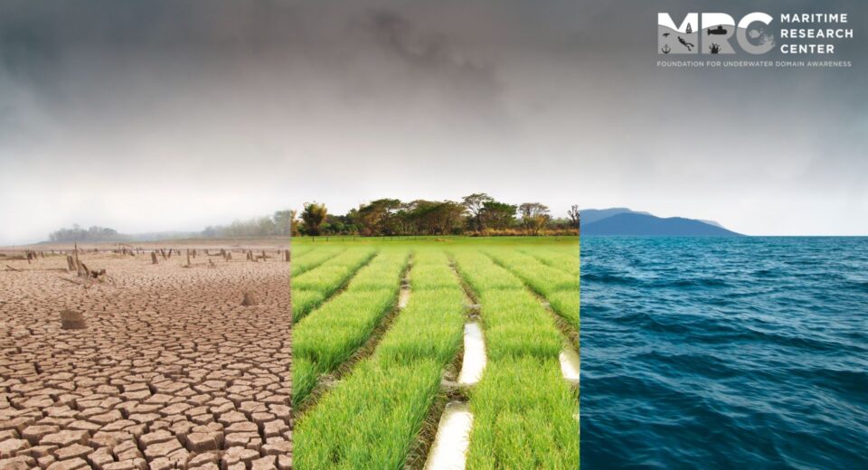
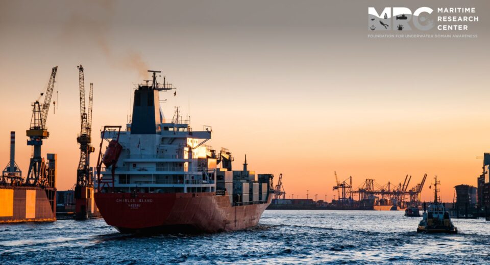
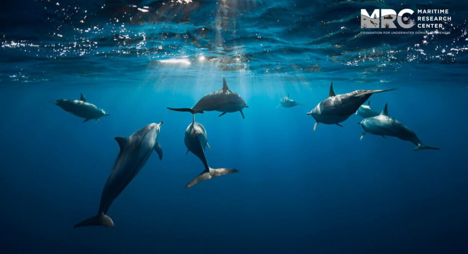
Key Highlights The global community, under the United Nations (UN) Intergovernmental Ocean Commission (IOC), has prioritised the MSP as a critical tool for enhanced water body management. The Modelling and simulation (M&S)–based MSP, followed by field experimental validation, will revolutionize how we manage the challenges and opportunities of the new global order. The developed nations have developed significant expertise and hardware for the MSP initiative and now pushing the global south to align with the new regulations. The developed nations have developed significant expertise and hardware for the MSP initiative and now pushing the global south to align with the new regulations. The universe is going through a very critical phase in its entire evolution. On one end, the Science & Technology (S&T) and human understanding of the universe has reached a level where sustainability crisis and climate change risk are clearly visible. On the other hand, the population growth and the demands for a better life drive us towards an irreversible degradation of the surroundings. Often, the bogey of development and good life is becoming a cause for extreme weather events and massive scale pollution across air, water, and food. Serious efforts are required to manage this catastrophic situation. “Given that 75% (including the freshwater systems) of the earth is water, we need to prioritise the focus on these water bodies. Going further, it may be noted that 90% of the threats and resources reside below the surface, so Underwater Domain Awareness (UDA) should be prioritised across the board.” Digital transformation has been recognised as the de-facto tool for effective governance, and the manifestation in the marine or freshwater systems has been referred to as the Marine Spatial Planning (MSP). The global community under the United Nations (UN) Inter-governmental Ocean Commission (IOC) has prioritised the MSP as the critical tool for enhanced management of water bodies. As per the IOC, MSP is defined as the public process of analysing and allocating the spatial and temporal distribution of human activities in marine areas to achieve ecological, economic and social objectives that have been specified through a political process. However, this initiative at the global scale has two fundamental concerns. The first is the North-South divide, and the second is the tropical challenges. The Global South has been at the receiving end of the power play by the developed world, often referred to as the North. Many of these initiatives come as a surprise for the global south, and they pay a heavy price for coping with the changed global order. The MSP is an intense technological and data-driven initiative. The developed nations have developed significant expertise and hardware for the MSP initiative and now pushing the global south to align with the new regulations. The North gets accused of exploiting the global norms as a means of Return on Investment (RoI) for their proactive technology advancements. “The conventional MSP, being pushed by the developed world, is hardware-intensive and based on extensive sensor deployment across the entire marine space. The prohibitive cost of such hardware intensive MSP is limiting the Global South’s participation, which is facing significant socio-economic and socio-political stress.” The entire global community has recognised the Indo-Pacific strategic space as the theatre for geopolitical and geostrategic interactions. More and more global powers are deploying their strategic assets in the region and indulging in local politics. The Indo-Pacific strategic space, by definition, is the tropical waters of the Indian and Pacific Oceans. The tropical waters present unique challenges and opportunities. On one end, they boast of rich bio-diversity and massive undersea mineral resources, whereas on the other end, they suffer severe degradation of the sonar performance deployed for any UDA. The degradation of sonar performance is of the order of 60%, compared to the temperate and polar regions, where these systems were originally designed and developed. The local site-specific underwater characteristics in the tropical waters require indigenous efforts to ensure effective UDA. The two fundamental concerns also have a cascading impact. The developed world is facing a serious demographic crisis and lacks the bandwidth to deploy human resources to customise their technologies & know-how to suit the tropical requirements. These tropical countries looking up to the temperate and the polar countries to build their MSP is a flawed idea. The developing nations in the tropical waters are densely populated with aspirational youth looking for meaningful engagement. These young people lack the skill & knowledge to participate in such critical global endeavours. Defining the opportunities and then connecting them to the skill & knowledge gaps will be the key. MSP for the tropical waters of the Indo-Pacific and beyond will require acoustic capacity & capability building in a structured manner. “The Modelling & Simulation (M&S) based MSP, followed by field experimental validation, will be a game changer to manage the challenges and opportunities of the new global order. The UDA modelling based on the available above-water data will provide us with the backbone to generate synthetic data for any variation in underwater space.” The tropical waters’ unique characteristics can be mapped using high-end signal processing algorithms. For example, we can use the varied databases to consider the low-frequency ambient noise (below 1 kHz) MSP mapping. The low-frequency ambient noise is known to be generated by shipping traffic. The following points present the entire process: – The entire space is divided into grids of 10 latitude & longitude. Each grid is treated as a unit of M&S. – The Automated Identification System (AIS) inputs are drawn for each grid to extract the static and dynamic inputs of the ships in the region. Artificial Intelligence (AI) based algorithms are used to clean the corrupted AIS data. – This real-time AIS input is then corroborated with the Classification Society database to derive the machinery details of the specific ships in the grid. – The AIS and the Classification Society data are used to compute the Underwater Radiated Noise (URN) in each grid. The computed URN is then brought to the centre of the