
~By Waikhom Rajlakshmi (Former MRC Intern and Student at Symbiosis School of Liberal Arts)
- Encompassing Arunachal Pradesh, Assam, Manipur, Meghalaya, Mizoram, Nagaland, Tripura, and Sikkim, the North East Region (NER) is a world of breathtaking landscapes, vibrant cultures, and resilient communities.
- Water is one of the main resources that support the livelihoods of various communities and also cradles the area’s rich biodiversity.
- Good policy can be formulated by combining a solid database with local knowledge and understanding.
- This paper proposes an integrated model in which the UDA framework and tools are synchronised with the region’s particular groups’ deep understanding of Traditional Ecological Knowledge (TEK).
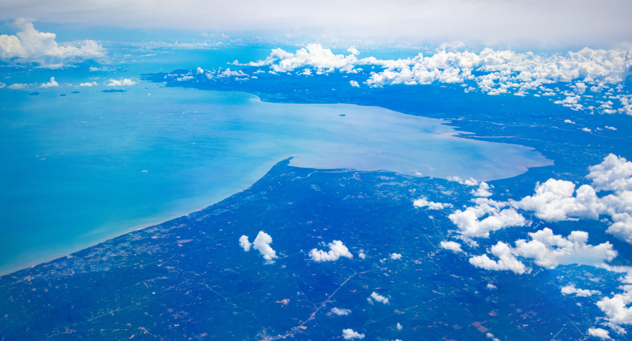
India is a multi-ethnic state and is known popularly for its diversity. In this context, Northeast India can be considered the most diverse part of India, both in terms of ethnicity and physiography. Northeast India (NER) has often been described as “another India, the most diverse part of a diverse India” (Verghese, 2004). Anyone who visits the region quickly realises why. Encompassing Arunachal Pradesh, Assam, Manipur, Meghalaya, Mizoram, Nagaland, Tripura, and Sikkim, it is a world of breathtaking landscapes, vibrant cultures, and resilient communities. Yet, behind its natural beauty lies a reality of fragility and vulnerability.
This paper proposes that an integrated model in which the UDA framework and tools are synchronised with the region's particular groups' deep understanding of Traditional Ecological Knowledge (TEK) offers a new pathway to mitigate tensions and transform water from a source of conflict into a catalyst for cooperation and sustainable peace.
A New Paradigm: The Underwater Domain Awareness (UDA) Framework with TEK
River Information Systems (RIS):
The data collected through this can be combined with flood-forecasting models, thereby providing advanced warnings of floods and changes in river volume. This gives the communities time to prepare for timely evacuation, reallocate livestock and assets, and enable more effective disaster response, saving lives and reducing economic losses.
Acoustic Remote Sensing:
The historical knowledge of a village elder about which riverbanks have been stable for decades can provide crucial context to a satellite-based erosion analysis.
Modelling & Simulation (M&S):
Dr Das (2023) introduces a method to better understand the underwater domain and to predict events through Modelling and Simulation (M&S) within the UDA framework. This can help predict extreme weather and climate change events, thus minimising risk and loss of life.
Limitations
Way Forward
One recommendation is to commission and fund dedicated, multidisciplinary research on the applicability of the UDA framework to riverine systems, with an emphasis on NEI. This will include pilot studies to test and validate technologies on the ground.
Conclusion
This analysis has emphasised that the future stability of Northeast India is inextricably linked to the health of its environment, and specifically to its major transboundary rivers. The Brahmaputra and the Barak are not just sources of water; they are the source of life, economy, and culture.
References
10. Verghese, B. G. (2004). India’s Northeast resurgent: Ethnicity, insurgency, governance, development. Konark Publishers.

Waikhom Rajlakshmi
About Author
Waikhom Rajlakshmi is a Liberal Arts student at the Symbiosis School of Liberal Arts (SSLA), Pune. During her 2025 internship at the Maritime Research Center, she conducted research on Traditional Ecological Knowledge (TEK) in Northeast India. Her work explores integrating TEK into the Underwater Domain Awareness (UDA) Framework to enhance management of the region’s freshwater systems.